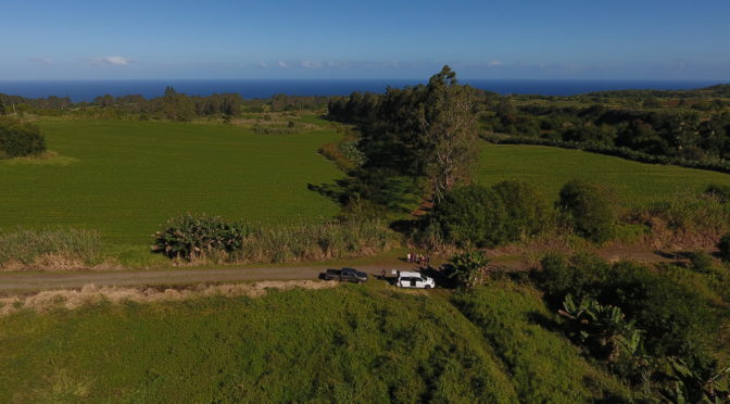
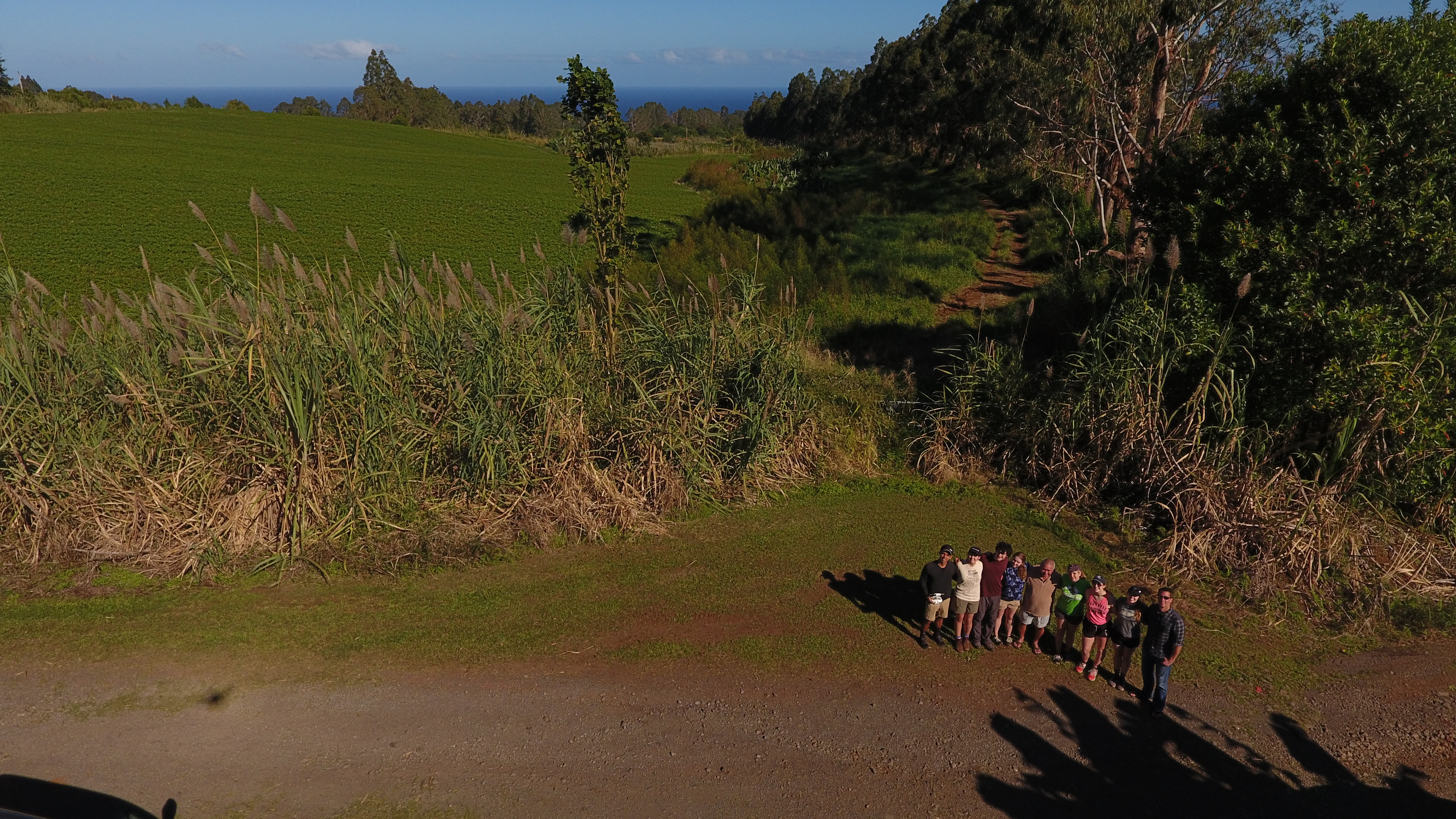
Richard was out with some Massachusetts Institute of Technology (MIT) students conducting precision ag research at his farm when their drone swooped by and snapped this.
The undergraduate students are here with MIT’s Traveling Research Environmental Experiences (TREX) field research course. They are doing some environmental testing projects. At Hamakua Springs, their project is about “precision ag.”
‘Iolani School graduate Jon Kaneshiro is a graduate student in environmental engineering at MIT and a teaching assistant in the course. He explains they are using the drone to take remote images of the farm’s sweet potato fields. Then they process the images to analyze nutrient load.
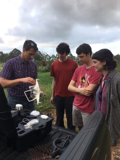
“Using these high-definition, high-resolution drone images,” he says, “we can do some cool coding and processing to create a mosaic of a farm. It lets us see where potential low nutrient points are; where the plants aren’t doing well in the field. Sometimes if you just look at the field everything looks green. But if you use different image processing techniques, you can see which places are not doing as well as other places.”
Some large-scale farms might be using the technology, but Kaneshiro hasn’t heard of any Hawai‘i farmers using it.
It means a farmer doesn’t have to rely on satellite images, where resolution is poor. Clouds, too, can block satellite views. “We have big data from satellites,” he says, “but the resolution is oftentimes not enough to analyze your own smaller field.”
“Drones are pretty accessible,” he says. “They can cost a couple or a few thousand dollars. But if you hired a helicopter it’s going to be a thousand for only one ride. As compared to a drone, where you can go out with it every day. Or even multiple times in one day.”
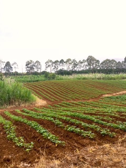
The students are studying two different plots at Richard’s farm. One is 12-acres and the other is a four-acre plot of sweet potatoes.
Processing the Photos for Precision Ag
They process the raw images using applications and coding to isolate different types of bands, wavelengths, frequencies and the like. “We use software to code it,” says Kaneshiro, “but some of the students are really smart and doing it themselves, using coding and algorithms.”
“When you isolate the bands, you can see, visually, at a more intense level where there’s less growth in an area. You can see where the hot spots are.”
Once they find the “hot spots,” they test the soil at those places for pH and other nutrient levels.
“We can map the data onto the images and look at correlations and see what’s going on,” he says. “Why there are higher nutrients here, and where we need more nutrients.”
He says it’s a complex process but that it’s fun to see it all come together.
It’s merging remote sensing with precision ag, he explains. “The idea is that instead of a farmer dispersing large amounts of fertilizer over his whole field, maybe he can realize that, okay, that little 10 x 10 square in that corner over there needs more or less fertilizer, maybe because of a topographic feature.”
He says it’s a big divide. “We have the technology and the skills, but the divide between the farmers and the scientists is big.”
The students will be presenting about their project, as well as on sulfur dioxide sensors they have deployed in Pahala, at the Kona Science Cafe on Wednesday, January 25, 2017 at 5 p.m.. The public is welcome.
Absolutely excellent! Use of technology is where we should be headed. We need to bring the MIT.model into the farming community, but subsidize a portion of the technology. Farmer’s gotta see this work.
I need to hook up the corn guys and the ginger/ sweet potato guys. The MIT folks will put a full study together.